Skip to header Skip to main navigation Skip to main content Skip to footer
Home
Claim Jumper A-Frame 6
Your Cozy Summit in Red River

Scenic Byway

Breadcrumb

  • Home
  • Scenic Byway

84 Miles Around the Mountain: The Enchanted Circle Scenic Byway

Eagle Nest Lake on the Enchanted Circle, with the mountains of the Moreno Valley rising behind it.

It begins and ends in Taos and circles the highest mountain in New Mexico: the 84-mile Enchanted Circle Scenic Byway is northern New Mexico's grand tour, and Red River sits right on it.

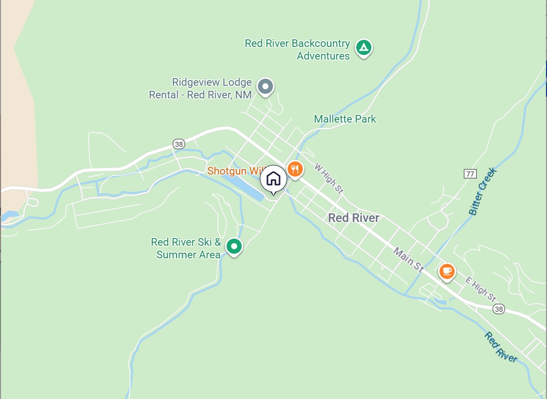
The route follows four highways — U.S. 64 between Eagle Nest and Taos, NM 522 from Taos to Questa, NM 38 through Questa, Red River, and Eagle Nest, and NM 434 between Eagle Nest and Angel Fire — looping around 13,161-foot Wheeler Peak through the Carson National Forest. It was designated a National Forest Scenic Byway in 1989 and joined New Mexico's state scenic byway program in 1998.
  • Read more about 84 Miles Around the Mountain: The Enchanted Circle Scenic Byway
Subscribe to Scenic Byway

Click Here to Book Now

Upcoming Events

🎉 Weekly Events and Daily Calendar

Webcams

🎥 View Live Red River Webcams

Red River, NM Weather

Loading current conditions...

Loading forecast...

 Click Here for More Information

Footer menu

  • → Red River Tales

Copyright © 2026 - Red River New Mexico LLC - All rights reserved

Developed and Designed by Rocky Mountain Madman LLC